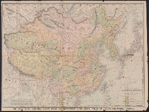
- No6
Digital Collections Search Results
Creator
Rand McNally and Company
Container / Volume
BRBL_00273
Published / Created
1900
Call Number
50 1900
Format
Digital Collection / Online / Cartographic / Maps & GIS
Found In
Access
Public

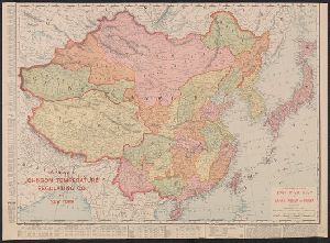
Creator
Rand McNally and Company
Container / Volume
BRBL_00296
Published / Created
c1901.
Call Number
56 1901A
Format
Digital Collection / Online / Cartographic / Maps & GIS
Found In
Access
Public
Alternative Title
Four-track series., Map of Asia, and New map of Asia and the Chinese empire as they are to-day :
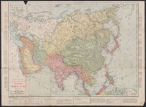
Creator
Rand McNally and Company
Container / Volume
BRBL_00307
Published / Created
c1904.
Call Number
57hc 1904
Format
Digital Collection / Online / Cartographic / Maps & GIS
Found In
Access
Public
Alternative Title
1904 war map of Japan, Korea, and China, 1904 war map of Russia and the continent of Asia, and Rand, McNally & Co.'s 1904 war map of Russia and the continent of Asia

Creator
Rand McNally and Company
Container / Volume
BRBL_00296
Published / Created
c1904.
Call Number
56 1904
Format
Digital Collection / Online / Cartographic / Maps & GIS
Found In
Access
Public
Alternative Title
1904 war map of Japan, Korea, and China, 1904 war map of Russia and the continent of Asia, and Rand, McNally & Co.'s 1904 war map of Russia and the continent of Asia
Creator
Rand McNally and Company
Container / Volume
BRBL_00273
Published / Created
c1904.
Call Number
50 1904
Format
Digital Collection / Online / Cartographic / Maps & GIS
Found In
Access
Public
Alternative Title
1904 war map of Japan, Korea, and China, 1904 war map of Russia and the continent of Asia, and Rand, McNally & Co.'s 1904 war map of Russia and the continent of Asia
Creator
Rand McNally and Company
Container / Volume
BRBL_00020
Description
On verso, [ca. 1:13,125,000]: Rand McNally stratoview map of eastern Asia from the Philippine Sea.
Published / Created
[1944?]
Call Number
23 1944A
Format
Digital Collection / Online / Cartographic / Maps & GIS
Found In
Access
Public
Alternative Title
Rand McNally stratoview map of eastern Asia from the Philippine Sea. and Reference map of the Pacific Ocean with 29 large-scale insets of island groups.
