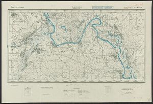
- No7
Digital Collections Search Results
Container / Volume
BRBL_00259
Description
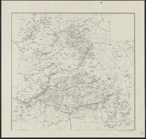
Red lines connecting some towns printed over base map.
Published / Created
[1940?]
Call Number
456 1918
Format
Digital Collection / Online / Cartographic / Maps & GIS
Found In
Access
Public
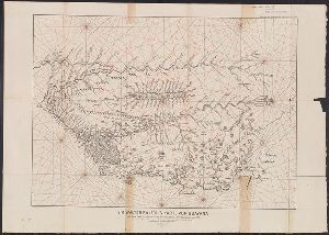
Container / Volume
BRBL_00259
Description
Red lines connecting some towns printed over base map. Relief shown by shading.
Published / Created
[1940?]
Call Number
456 1918A
Format
Digital Collection / Online / Cartographic / Maps & GIS
Found In
Access
Public
Container / Volume
BRBL_00667
Description
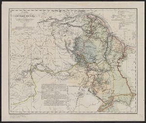
Reproduced by the Heliotype Printing Co., Boston from the original in "Reisen in British
Published / Created
1846
Call Number
9065 1846
Format
Digital Collection / Online / Cartographic / Maps & GIS
Found In
Access
Public
Container / Volume
BRBL_00200
Description
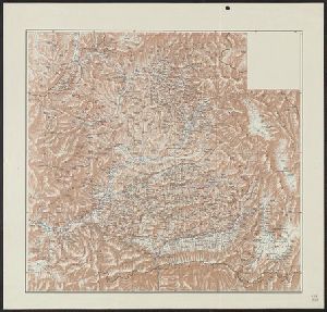
"1:24,500,000"--Scale printed on map. Relief shown by hachures. Stamp: Karpinski-von Wieser Map
Published / Created
1860
Call Number
40 1845A
Format
Digital Collection / Online / Cartographic / Maps & GIS
Access
Public
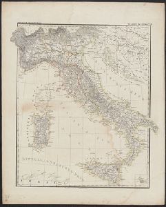
Creator
Germany. Heer. Abteilung für Kriegskarten- und Vermessungswesen II
Container / Volume
BRBL_00107
Description
Includes sheet index diagram. Maps printed on verso of pre-existing surplus map stock. Relief shown
Published / Created
1942
Call Number
352 B634 1942
Format
Digital Collection / Online / Cartographic / Maps & GIS
Found In
Access
Public
Creator
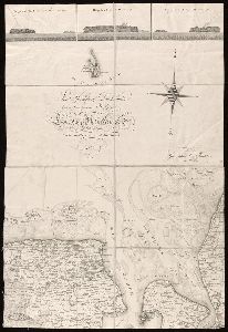
Raleigh, Walter, Sir, 1552?-1618.
Description
. Printed facsimile of manuscript map in British Library. Shows Guiana coast from mouth of Amazon westward.
Published / Created
1892
Call Number
90475 1892
Format
Digital Collection / Online / Cartographic / Maps & GIS
Found In
Access
Public
Creator
Geographisches Institut (Weimar, Thuringia, Germany)
Description
, on verso. Printed key for sheets 4, 14 and 15 pasted on verso. Indexed. Relief shown pictorially
Published / Created
1807-1813.
Call Number
BrSides Folio 2017 22
Format
Digital Collection / Online / Cartographic / Maps & GIS
Found In
Access
Public