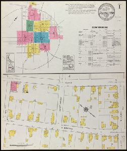
- No6
Digital Collections Search Results
Creator
Sanborn Map Company
Abstract
Fire insurance map, colored to show building construction, property boundaries and house and block
Container / Volume
BRBL_00502
Published / Created
August, 1923.
Call Number
776 B764 1923
Format
Digital Collection / Online / Cartographic / Maps & GIS
Access
Public
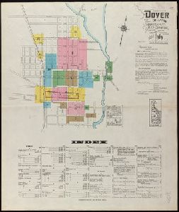
Creator
Sanborn Map Company
Abstract
Fire insurance map, colored to show building construction, property boundaries and house and block
Container / Volume
BRBL_00502
Published / Created
June, 1919.
Call Number
776 D75 1919
Format
Digital Collection / Online / Cartographic / Maps & GIS
Access
Public
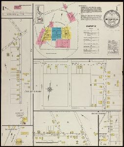
Creator
Sanborn Map Company
Abstract
Fire insurance map, colored to show building construction, property boundaries and house and block
Container / Volume
BRBL_00502
Published / Created
October, 1919.
Call Number
776 G295 1919
Format
Digital Collection / Online / Cartographic / Maps & GIS
Access
Public
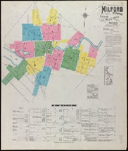
Creator
Sanborn Map Company
Abstract
Fire insurance map, colored to show building construction, property boundaries and house and block
Container / Volume
BRBL_00502
Published / Created
Nov. 1919.
Call Number
776 M59 1919
Format
Digital Collection / Online / Cartographic / Maps & GIS
Access
Public
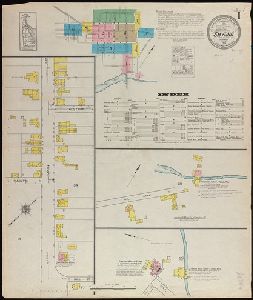
Creator
Sanborn Map Company
Abstract
Fire insurance map, colored to show building construction, property boundaries and house and block
Container / Volume
BRBL_00502
Published / Created
August, 1915.
Call Number
766 Sm95 1915
Format
Digital Collection / Online / Cartographic / Maps & GIS
Access
Public
Creator
Sanborn Map Company
Abstract
Fire insurance map, colored to show building construction, property boundaries and house and block
Container / Volume
BRBL_00502
Published / Created
July, 1923.
Call Number
776 N642 1923
Format
Digital Collection / Online / Cartographic / Maps & GIS
Access
Public